Founders of Terrain Engineering PH
A New Discipline for a Climate-Shaken World
GeoComms is a Philippine-led terrain intelligence and engineering group pioneering Terrain Engineering PH™.
We combine DEM-driven analysis with hydrology, geomorphology, and engineering logic to understand terrain as a living system. Our work transforms how nations address landslides, floods, drought, and infrastructure failure through terrain truth.
Why Terrain Engineering Exists
Most disasters are not weather problems — they are terrain problems. When mountains collapse, roads fail, and rivers flood, the root cause lies in how the land behaves under stress. Traditional engineering treats symptoms. We diagnose the terrain itself.
Terrain Failures We Address:
- Landslides
- Road collapses
- River misalignment
- Coastal erosion
- Flash floods
- Drought & basin death
- Aquifer exhaustion
- Subsidence
Our Mission
To understand the land as a living system and redesign it for safety, resilience, productivity, and national advantage.
We empower LGUs, engineers, planners, and nations with terrain truth.
Our Identity
GeoComms Is Not… and What We Are
Not a GIS shop
We go beyond mapping to terrain intelligence
Not a contractor
We design solutions, not just execute them
Not a traditional engineering firm
We pioneer a new discipline
We are the Terrain Engineering Command Unit of the Philippines.
Our Capabilities
DEM terrain intelligence
Engineering redesign
Not a traditional engineering firm
Basin diagnostics
Road risk assessment
National planning
What We Created: Terrain Engineering PH™
Slope & geomorphology interpretation
Understanding how terrain shapes behave under stress
Hydrology logic & flow intelligence
Mapping water movement through terrain systems
Basin & watershed behavior
Analyzing drainage patterns and water collection zones
Road alignment science
Engineering roads that respect terrain physics
Micro-basin doctrine
Small-scale watershed management principles
Terrain-based climate mitigation
Designing landscapes for climate resilience
Terrain Advantage Planning
Strategic use of topography for development
Hilltop-to-Coastline Engineering Doctrine™
Integrated terrain systems from source to sea
Terrain Engineering is the missing layer between land, climate, and engineering. It bridges the gap between what we see on maps and what actually happens when water, gravity, and human activity interact with the landscape.
Our Approach
How We Work
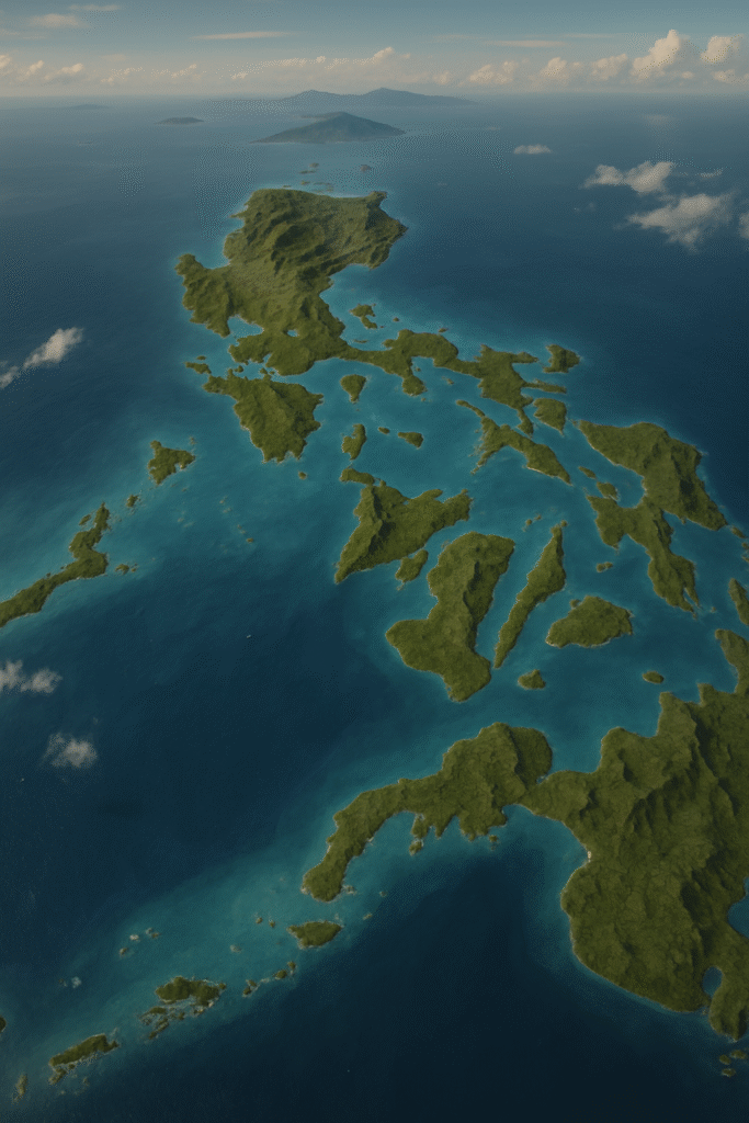
We use Digital Elevation Models (DEM) like MRI scans — revealing what lies beneath the surface. Every slope, every watershed, every failure point becomes visible. We don’t guess. We diagnose.
Our Diagnostics Answer:
- Why mountains collapse
- Why rivers flood
- Why roads fail
- Why basins die
- Why aquifers surrender
- Why cities subside
- Why drought devastates regions
We redesign landscapes for long-term stability and safety.
Our Story
Terrain Engineering PH™ was born from necessity. The Philippines sits at the intersection of extreme terrain and extreme climate — typhoons, landslides, floods, drought. We realized that traditional engineering wasn’t enough. The land itself needed to be understood and redesigned.
What started as local diagnostics in barangays evolved into basin-scale analysis, then irrigation system redesign, mountain road risk assessments, and eventually, drought mitigation strategies for entire nations. We work at every scale — from single watersheds to national infrastructure planning.
Our Current Partners Include:
LGUs
Engineering offices
Water districts
Mining groups
Agriculture institutions
International missions
What We Created: Terrain Engineering PH™
Truth Through Terrain
DEM reveals reality. We don't rely on assumptions — we read the land as it actually is.
Resilience Through Redesign
Terrain-based solutions that address root causes, not just symptoms of failure.
National Capability Building
Built for Filipinos. We develop local expertise and empower our communities.
Global Responsibility
Helping nations solve terrain failures. Our solutions scale beyond borders.
Leadership
Areas of Expertise
- Geospatial intelligence
- DEM diagnostics
- Terrain logic
- National climate resilience
- Multi-sector planning
"Do not guess terrain. Read it. Respect it. Redesign it"
Our Vision
To make the Philippines the global leader of Terrain Engineering — the nation that created the discipline the world needs.
Work With Us
Email: email@geocomms.io
Mobile: +63 917 112 3543
Tel: +63 82 286 2299