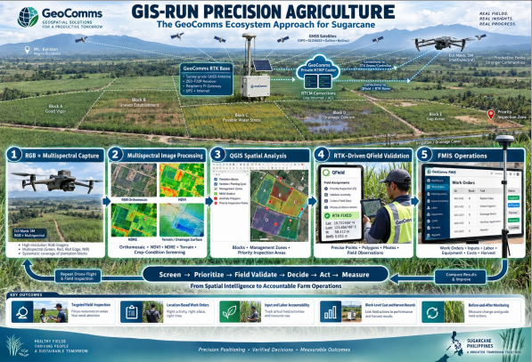
GIS-RUN PRECISION AGRICULTURE
The GeoComms Approach for Sugarcane
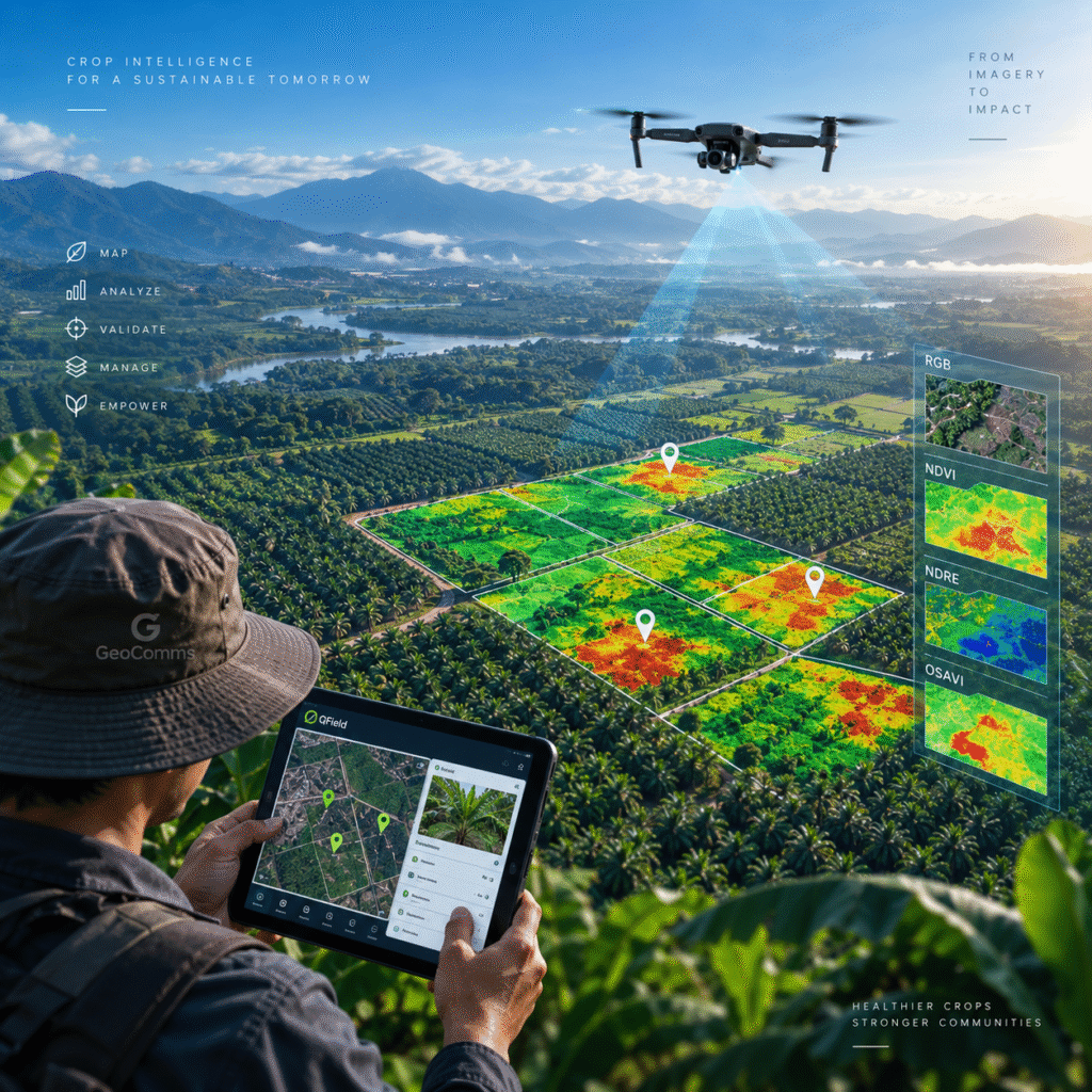
An integrated workflow combining drone imagery, multispectral analysis, QGIS spatial analysis, RTK-driven field validation, and FMIS operations to support field decisions and measurable outcomes.